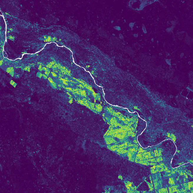
I trained irrigation models on one of my PhD sites in Mozambique and used them on the other three, with Sentinel-2 and with AlphaEarth and TESSERA embeddings. You can click through all the maps.
A satellite monitoring service for thousands of sugarcane fields in several African countries, from 0.2-hectare smallholder plots to large estates. I co-founded it and lead the technical side.
The geospatial and hydrology work within Resilience BV, where I have worked as a spatial data analyst since 2019. Mostly for development programmes in sub-Saharan Africa.
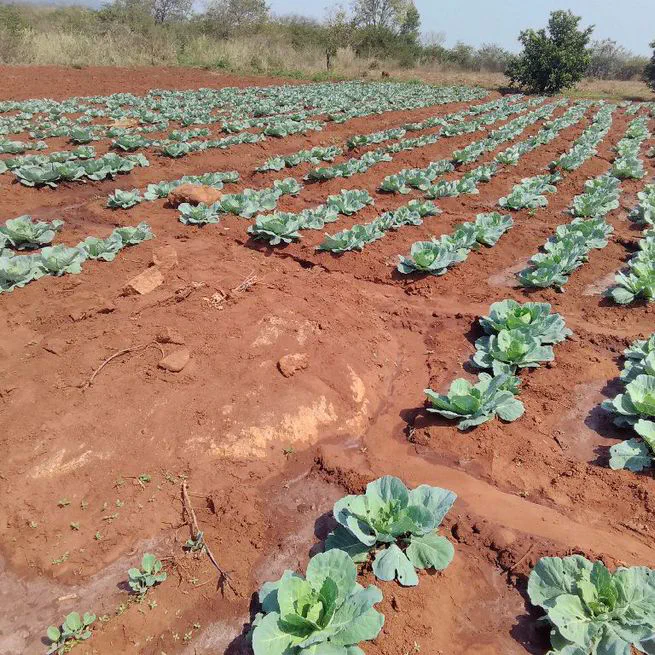
Smallholder irrigation hardly shows up in official statistics. Through my PhD, the FASIMO programme and later projects I have been mapping it from space, and testing how much the method changes the map.
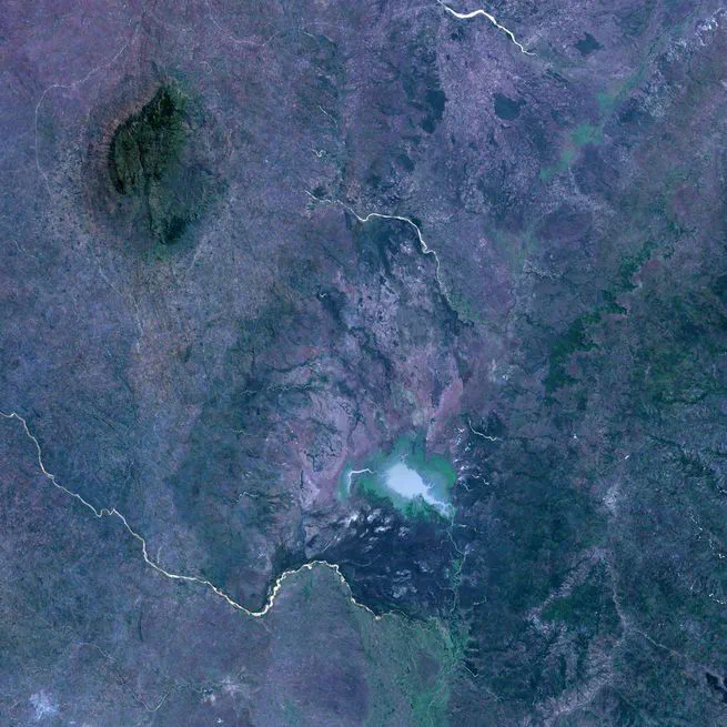
Mapping irrigated agriculture, coffee trees, deforestation and reforestation in the buffer zone of Gorongosa National Park, for a livelihoods programme.
Training about 50 people in Mozambique, from GIS students to government staff, in remote sensing tools, field data collection and canal flow measurement. And supervising MSc students and interns.
A WUR and Resilience study on how Colombian coffee and palm oil can be traced to the plot, so they comply with the EU Deforestation Regulation. I did literature review and advice.

Four years of mapping smallholder irrigation in Mozambique from space, and finding out how much the method changes the map.
Sentinel-1 radar in Google Earth Engine to map which areas around Beira and the Zambezi flooded in 2021, and which flooded first.
Mostly so that colleagues who don’t use QGIS or code can still work with our data.
A web app that shows every downloaded satellite image of the sugarcane fields we monitor, so non-technical colleagues can scroll through them and see whether a change is cloud, crop or harvest.
A set of small browser tools around the SmartCane pipeline: checking input data, viewing and editing GeoJSON, ODK and field polygons, and a map of sugar mills in East and Southern Africa.
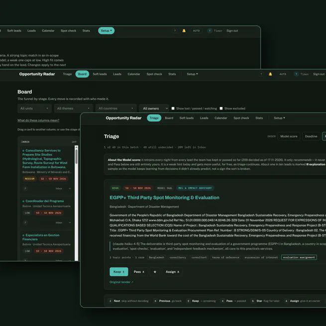
A web application for Resilience that collects tender and consultancy opportunities, scores them with rules and an LLM, and supports triage, assignment and Go/No-Go decisions.
A chatbot on Signal, running on a self-hosted LLM, so farmers can ask about their own fields whenever they want. In development.
Documentation for the SmartCane pipeline, a handbook for Resilience, and this website.
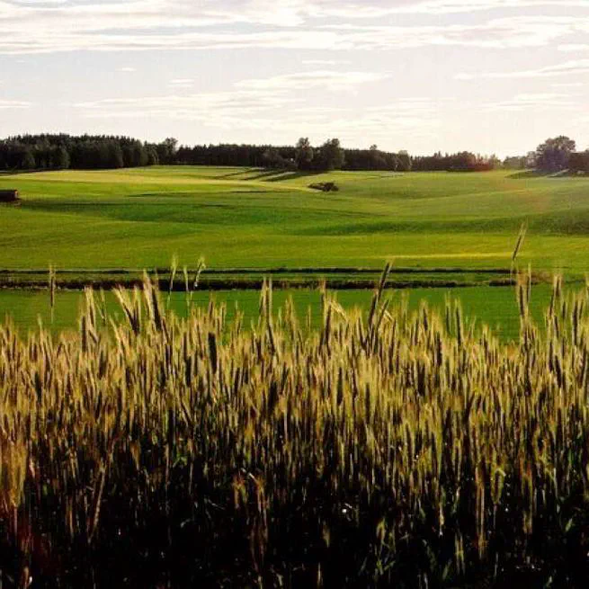
MSc thesis on soil properties, flow paths and the water balance of a small agricultural catchment in Norway, simulated with DRAINMOD.

BSc thesis and internship in Huamantanga, Peru, on the pre-Inca mamanteo system that lets rainy-season water sink into the mountain so it comes out again in the dry season.
Maps I make in my own time, mostly with open data.
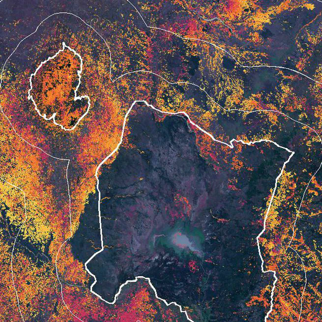
Is the forest inside the park safe, and what happens just outside it? 25 years of forest loss inside Gorongosa and in three rings around it.
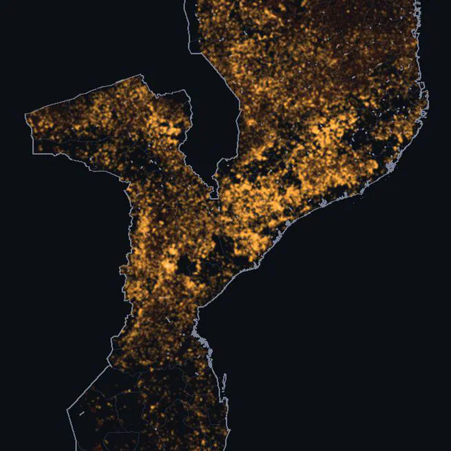
Every fire the Suomi NPP satellite saw in Mozambique in 2025, played day by day. 607,634 detections, most of them between August and October.
