About Me
I’m a remote sensing specialist and spatial data analyst working with satellite imagery and maps. I have a PhD in remote sensing of irrigated agriculture from Wageningen University, where I focus on using satellite data to understand agricultural and environmental challenges.
My work combines research and practical application. At Saterra Labs (within Resilience BV), I help development programs in sub-Saharan Africa understand their landscapes using geospatial analysis and hydrology. At SmartCane BV, I co-founded a company that uses satellite imagery to monitor sugarcane farms. I also work with the World Bank on remote sensing for water resource management.
I enjoy building open-source tools and sharing knowledge about Earth observation with others. Outside of work, I compete in box lacrosse at international level (Team Netherlands), hike with my dog, and play drums.
- Artificial Intelligence
- Map Making
- Box Lacrosse
-
PhD Remote sensing of irrigated agriculture
Wageningen University
-
MSc International Land and Water management
Wageningen University
-
MSc Geo-Information Sciences
Wageningen University
-
BSc International Land and Water management
Wageningen University
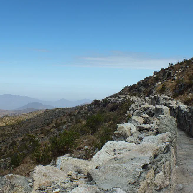
Exploring the pre-Incan Mamanteo system - a sustainable water harvesting technology that 'nurtures the mountain' to provide water security in the Andes.
Jun 18, 2025
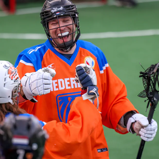
International box lacrosse career representing Team Netherlands Men at 3 world championships (2019 Canada, 2022 Hannover, 2024 USA). Combining athletic achievement with technical precision - skills that translate between sports and science.
Sep 29, 2024
I wisely started with a map - J.R.R. Tolkien This quote summarises how I start new projects, by thinking about the where, when, and how to show it. You would be surprised by how little maps are used in (project) proposals, yet how much they say (something about a thousand words, but times 10 because it’s spatial!
Jul 11, 2024
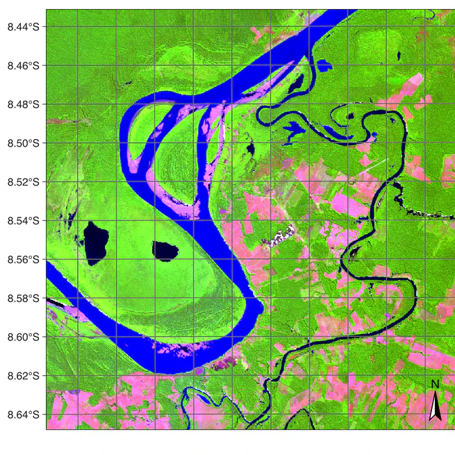
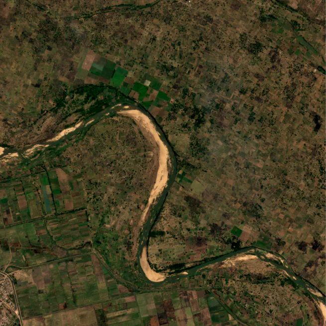
Look at these nice maps.
Jul 10, 2024
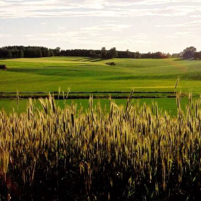
MSc thesis research investigating soil physical characteristics, hydrological flow paths, and water balance in a small agricultural catchment in Norway using DRAINMOD modeling.
Sep 1, 2017